"Official Radar and Alert System for
Extreme Weather"
StormPredator
- Personal Weather Radar Software with realistic Map Topography, Multiple
NEXRAD Radar products, Storm Tracking, Visual, Audible, Email, Pager,
& Cellphone Weather Alerting, Weather Forecasts, Current Data,
and History Images.
No
subscriptions required!
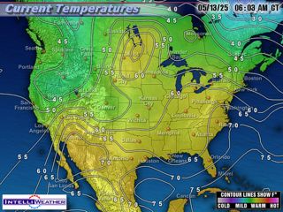
RADAR
IMAGERY |
Local
Radar - Updated once
every 6 minutes during precipitation, 10 minutes otherwise. |
|

|
Sioux
Falls, SD
Marcus
Hicks |
|
 |
Portales, NM
Jason
Kapera |
|
 |
Buffalo, NY
Paul
C. |

|
Bennett,
CO
Joe Quinn
|
|
|
|
|
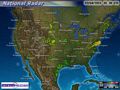
National
Radar - Updated once every 30 minutes. |
|
 |
Small
Image
Small
Animation
Large
Image
Large
Animation
|
|
|
|
|
|
|
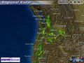
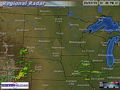
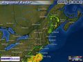
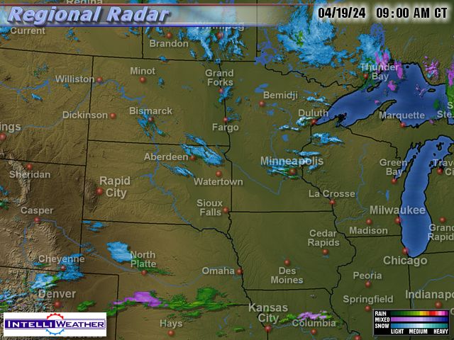
Regional
Radar - Updated every
30 minutes. Click on a region for more options. |
|
 |
Small
Image
Small
Animation
Large
Image
Large
Animation
|
|
 |
Small
Image
Small
Animation
Large
Image
Large
Animation
|
|
|
Small
Image
Small
Animation
Large
Image
Large
Animation |
|
 |
Small
Image
Small
Animation
Large
Image
Large
Animation
|
|
 |
Small
Image
Small
Animation
Large
Image
Large
Animation
|
|
 |
Small
Image
Small
Animation
Large
Image
Large
Animation |
|
 |
Small
Image
Small
Animation
Large
Image
Large
Animation
|
|
 |
Small
Image
Small
Animation
Large
Image
Large
Animation
|
|
 |
Small
Image
Small
Animation
Large
Image
Large
Animation
|
SATELLITE
IMAGERY |
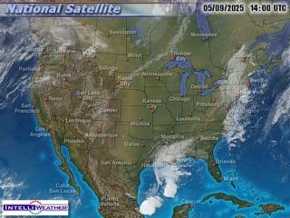
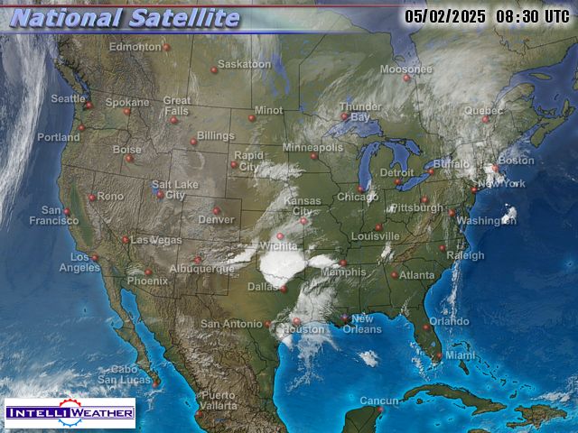
National Satellite - Updated once
every 30 minutes. |
|
 |
Small
Image
Small
Animation
Large
Image
Large
Animation
|
|
|
|
|
|
|
|
Regional Satellite - Updated every
30 minutes. Click on a region for more options. |
|
 |
Small
Image
Small
Animation
Large
Image
Large
Animation
|
|
 |
Small
Image
Small
Animation
Large
Image
Large
Animation
|
|
 |
Small
Image
Small
Animation
Large
Image
Large
Animation
|
|
 |
Small
Image
Small
Animation
Large
Image
Large
Animation
|
|
 |
Small
Image
Small
Animation
Large
Image
Large
Animation
|
|
 |
Small
Image
Small
Animation
Large
Image
Large
Animation
|
|
 |
Small
Image
Small
Animation
Large
Image
Large
Animation
|
|
 |
Small
Image
Small
Animation
Large
Image
Large
Animation
|
|
 |
Small
Image
Small
Animation
Large
Image
Large
Animation
|
|
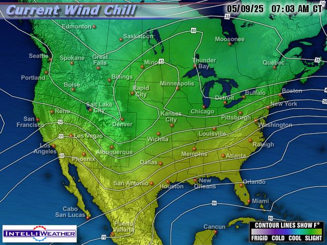
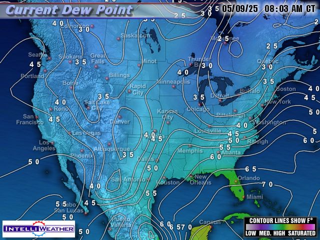
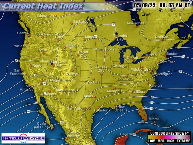
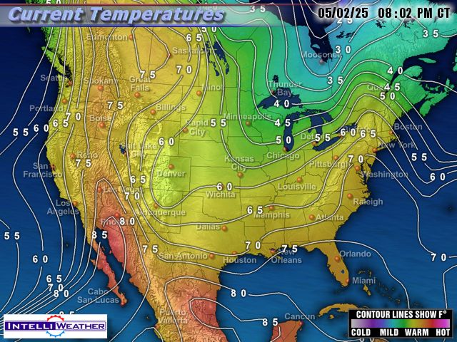
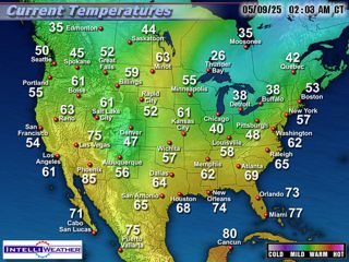
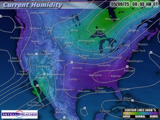
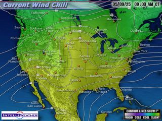
Weather images are brought to you by Storm Predator and IntelliWeather.
IntelliWeather offers stunning and affordable weather content for your TV/radio station, LPTV, news broadcast, Cable TV, closed circuit TV channel, or web site. Contact IntelliWeather today to subscribe or get more information.
They will automate your weather content delivery content process from start to finish - quickly, reliably, and affordably. Call them today!
IntelliWeather
Inc.
3008 Cohasset Rd.
Chico, CA 95973
Tel: 530-899-8434
Fax: 530-899-3333
All
images are saved as 24-bit jpeg files at 640x480 resolution, unless
otherwise stated. Web imagery includes half size
images at 320x240 plus thumbnails at 120x90. For
broadcast, the imagery is the same except it is
unbranded - assuming you will place your own logo/bug on the imagery. For
the web, images are stored on our servers, then retrieved by your viewers
when they click on the corresponding links. For broadcast, imagery is
retrieved by our exclusive synchronization software running on your video
server and placed in the appropriate folders for playback. We
recommend our VideoRAX weather imagery server for image retrieval and
display. |


